Thematic evaluation on soil
The analysis reports on the prevention of soil erosion and improvement in soil management in Malta through investments linked to the achievement of agri-environment-climate objectives (Measures 4.4) and the payment for agri-environment commitments (Measure 10.1).
- Malta
- 2014-2022
- Environmental impacts

This thematic evaluation refers to the 2016-2020 evaluation period and relates to Focus Area (FA) 4C of Matla's Rural Development Programme (RDP). The focus area concerns soil erosion prevention and improvement in soil management. This FA is chiefly addressed through Measures 4.4 (support for non-productive investment linked to the achievement of agri-environment-climate objectives) and 10.1 (payment for agri-environment commitments) of the RDP, with the bulk of the budget being allocated to Measure 4.4.
The methodology of the evaluation is based on the ‘Guidelines on the Assessment of RDP Results: How to prepare for reporting on evaluation in 2017’ issued by the European Evaluation Helpdesk for Rural Development. The evaluation consists of a mixed-methods approach, which ensures appropriate triangulation of different data sources. More specifically, the evaluation design consists of the following elements: an overview of the implementation of Measures 4.4 and 10.1; interviews conducted with beneficiaries of Measure 4.4; a structured focus group with selected beneficiaries of Measure 4.4; analysis of the data collected during the implementation of Measures 4.4 and 10.1 (RUSLE equation).
The proposed judgement criteria for FA4C are:
- Soil erosion has been prevented.
- Soil management has improved.
- To address the judgement criteria CMEF result/target indicators R10/T12 and R11/T13 were used. Other CMEF indicators (e.g. O.4, O.5, O.6, CCI.41 and CCI.42) were used to answer Common Evaluation Question 10.
- Qualitative assessment was undertaken using the survey to beneficiaries (and non-beneficiaries) of primarily and secondarily programmed measures/sub-measures, structured focus groups and interviews with managers of these measures.
The study highlights limitations concerning data from the Managing Authority and Paying Agency. GIS data was requested for the evaluation, but it was not provided by the time this report was written.
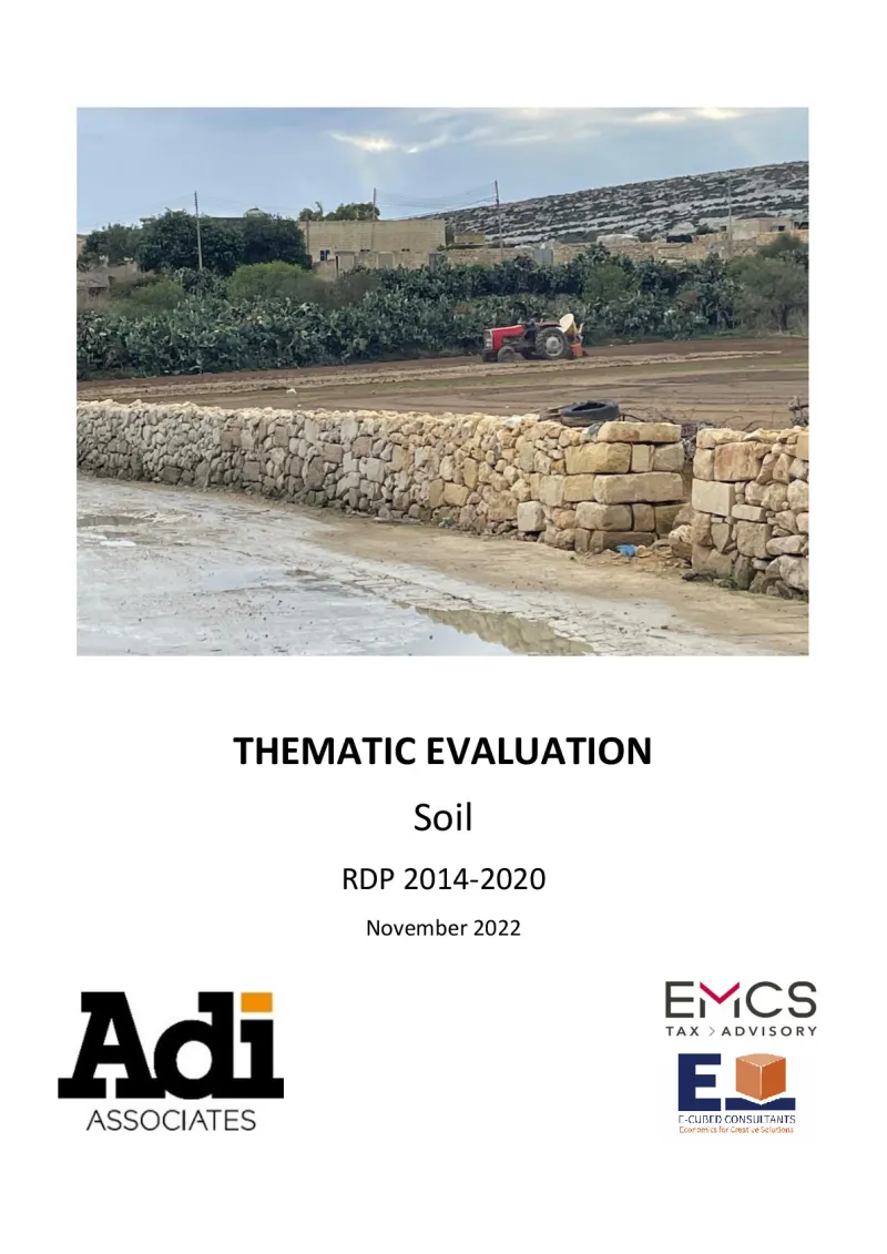
Concerning geographic information system (GIS) analysis and field data used to analyse soil erosion, the shape file of rubble walls funded under Measure 4.4 was requested from ARPA to estimate the protected land area using this data in the RUSLE equation. Due to the unavailability of land parcel identification system (LPIS) GIS data, parcels with restored rubble walls were manually identified.
In general, concerning the methodology, soil processes are long-term phenomena whose trends cannot be observed on the timescale of the RDP programming period, including the reduced interim evaluation period. Although attempts were made to estimate soil erosion and improve soil quality through soil organic matter (SOM) data, the available databases do not make it possible to assess the effects of the various parameters of soil quality. In addition, the effects of the 2014-2020 RDP on soil cannot be isolated from the effects of other environmental concerns, i.e. water, biodiversity and climate.
The thematic evaluation outlines the main findings of the following:
- The uptake of Measures 4.4 and 10.1 registered very good progress with the allocated budgets for both measures being exceeded. The target of 3% of agricultural land under management contracts to improve soil management and/or prevent soil erosion was exceeded and the indicator at the end of 2021 was estimated at 12.6%. The indicator is very close to the EU target of 14.3%. The success of the measure is attributed to the uptake of AECM 5.
- In terms of soil erosion and soil organic matter, data shows that 171 960 linear meters of walls were funded (of which 78 645 metres (m) were in Gozo and 93 315 m in Malta). It is further estimated that the area of soil protected by the rubble walls in Malta and Gozo is 8 104 499 m2. Assuming that the utilised agriculture area (UAA) is 10 730 hectares (or 107 300 000 m2) then the area of soil protected by rubble walls in the RDP is 7.55% of the UAA.
- In terms of soil erosion, it was estimated that the average annual soil loss for those parcels that benefitted under Measure 4.4 is substantially reduced because of the rubble walls. It was estimated that there is a 66% reduction in soil loss due to the rubble walls. This estimate can be further refined when GIS data of land parcels is made available.
- With regards to SOM, the data obtained from the beneficiaries of AECM 5 was collected and analysed for the years 2018 to 2020 (the years when SOM data was collected). The evaluation shows that there has been a substantial increase (over 50%) in SOM between 2013 and 2018. Furthermore, when the AECM was launched in 2018, the average SOM also increased by about 11% over the two years on parcels that implemented AECM5.
Author(s)
Adi Associates, E-Cubed Consultants and EMCS Ltd