General information
RDP Priority
- P2. Competitiveness
RDP Focus Area
- 2A: Farm’s performance, restructuring & modernisation
RDP Measure
- M04: Investments in physical assets
Beneficiary type
- Local / regional authority
Summary
Naratów is a village in the Lower Silesian Voivodeship. It is a typical agricultural settlement characterised by large fragmentation of land, unfavourable land layout, poor quality roads, and a lack of communal spaces for its residents. CAP support was used to finance a land consolidation project on an area of 694 ha. Land consolidation aimed to improve the land structure of farms and forest businesses, while also creating communal spaces and public infrastructure.
Results
- The number of plots decreased from 729 to 318.
- The average number of plots per farm decreased by 62%, and the average area of plots per farm increased by 130%.
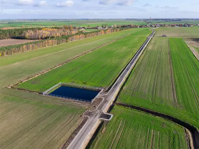
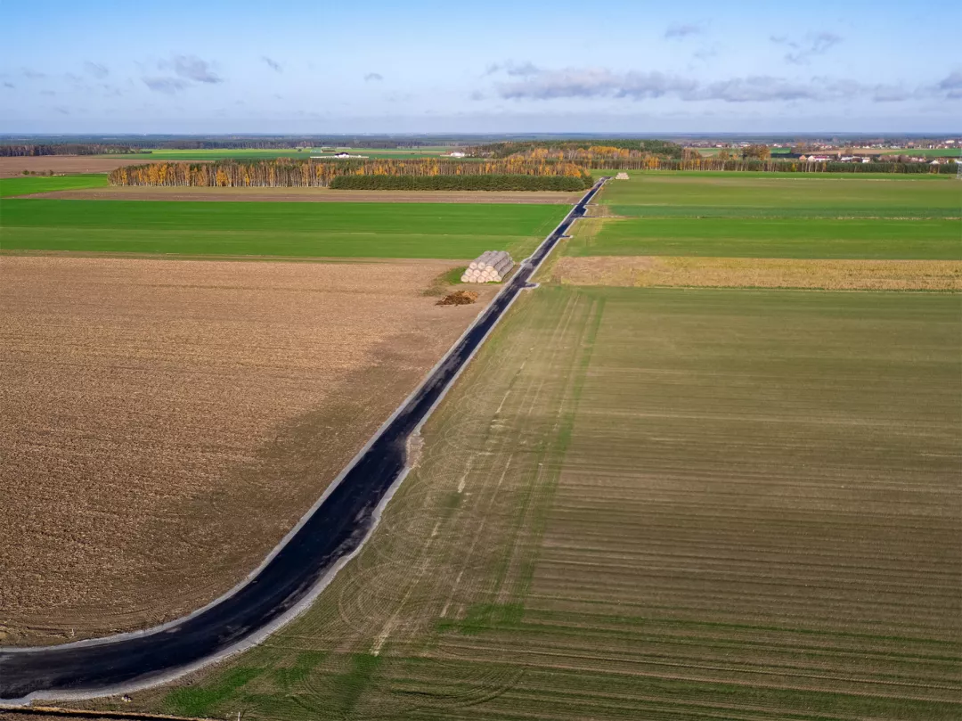
- The project allocated land for local public utility purposes, including a playground, building a total of 4.3 km of roads, and planting trees on 3.28 km of roadside.

Promoter
Górowski district
Funding
Total budget: 5 350 899 (EUR)
EAFRD: 3 404 777 (EUR)
National/Regional: 1 946 122 (EUR)
Resources
Documents
Links
Context
The Naratów village, in the north-western part of the Lower Silesian Voivodeship, is a typical agricultural village, characterised by large fragmentation of land, unfavourable land layout, poor quality roads, and a lack of communal spaces for its residents. The consolidation area covered 694 ha, which, before the project began, included 729 plots.
Objectives
The aim of the activity was to create more favourable production conditions for agriculture and forestry by improving the land structure of farms and by decreasing the number of plots per farm. Specific objectives also included rationalising the land layout; adapting property boundaries to the system of water drainage infrastructure, roads and terrain; and the creation of a functional network of access roads to agricultural and forest land.
Activities
Project activities included:
- Creating new plots of land with shapes and perimeters that facilitate rational and effective agricultural production.
- Preparing the cadastral documentation for all properties in the consolidation area.
- Marking property boundaries with geodetic signs.
- Designating land for allotments to be used for municipal public utility purposes and improving road quality.
- Creating a functional road network.
- Improving water management in the consolidation area through better drainage infrastructure.
- Enriching biodiversity through the roadside planting of melliferous trees.
Main results
- The number of plots decreased by 56% from 729 to 318.
- The average number of plots per farm decreased by 62%.
- The average area of plots per farm increased by 130%.
- The average commuting distance to the fields from the farmers’ houses decreased by 77%.
- Other project results included implementing land reclamation works on 0.8 ha; building a total of 4.3 km of roads; planting trees on 3.28 km of roadside; and stabilising all property boundaries.
- The project allocated land for local public utility purposes, specifically a playground.
Key lessons
- Land consolidation projects are particularly beneficial for agriculture, as they improve management conditions by shortening travel time and field service time. They also contribute to local development by freeing up land for designated public spaces which can be used for social activities and tourism.
