General information
RDP Priority
- P6. Social inclusion and local development
RDP Focus Area
- 6B: Local development
RDP Measure
- M19: LEADER/CLLD
Summary
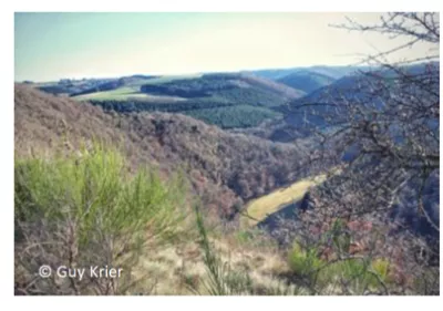
The rural landscape of the Atert-Wark LEADER area offers beautiful scenery and deserves to be better known. The WestTrail project supported developing hiking tourism and attracting hikers to the area. Together with a neighbour area (LAG Lëtzebuerg) a detailed mapping of all existing paths was carried out and introduced into a digital system. This online Geoportal displays ready-to-print maps for a network of around 1 000 km of sign-posted circular walks and of linear hiking trails. The ultimate step of WestTrails is to become part of the ‘Leading Quality Trails’, a label delivered by the European Ramblers Association.
Results
A network of about 1 000 km of sign-posted circular walks and linear hiking trails, corresponding to more than 130 different hiking trails in the region were inspected and mapped.
All the municipalities prepared a SWOT analysis of their existing hiking tourism offer and walking trails.
A digital documentation of the collected data was set up as a shared database for the establishment of a travel route network, to be combined to a Geoportal with ready-to-print maps.
Ressourcen
Documents
gp_lu_westtrails_web.pdf
(PDF – 561.24 KB)
contact


